To continue exploring information related to sea level rise and its impacts, explore the following resources from participating agencies. The following resources all directly utilize the latest scientific data that is featured on this site that comes from the Interagency 2022 Sea Level Rise Technical report in their viewers, data portals, calculators and tools. These resources are all designed for specific users and use cases to share various information related to sea level rise, associate changes due to climate change, and various risk factors.
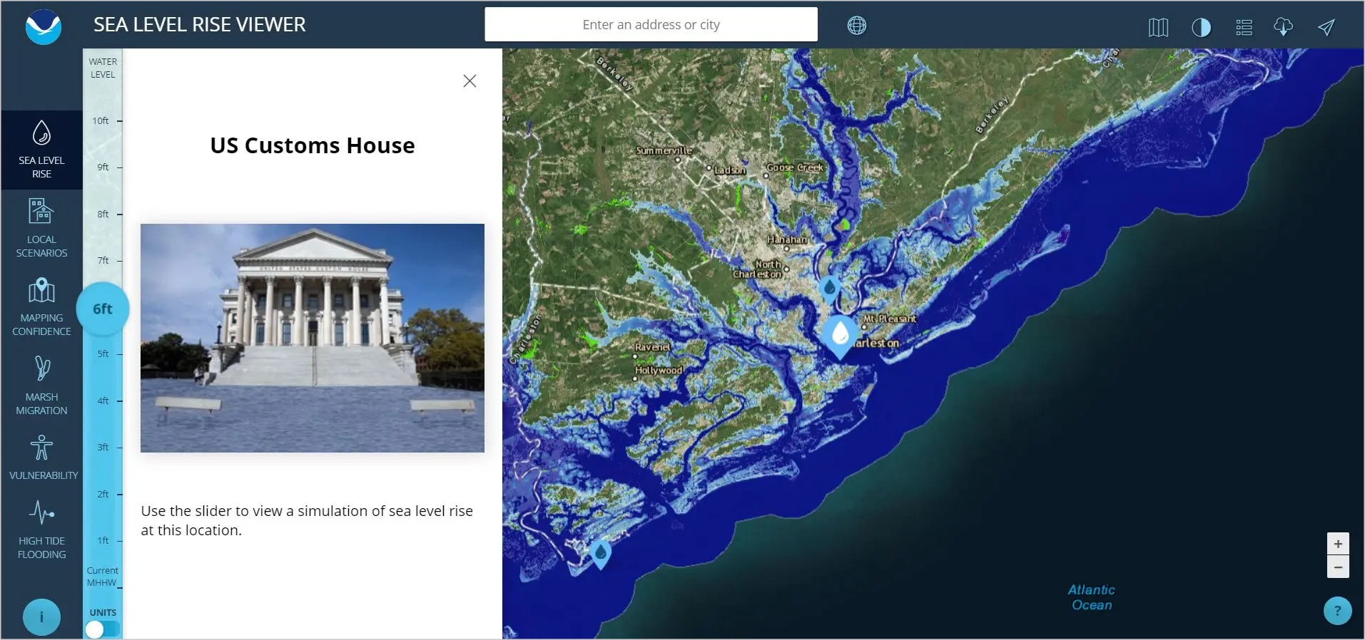
NOAA Sea Level Rise ViewerNOAA Sea Level Rise Viewer
An interactive online tool designed to visualize potential impacts of sea level rise on coastal communities. It allows users to explore various scenarios of sea level rise, view potential flooding areas, and understand the risks and vulnerabilities of different coastal regions to inform planning and resilience efforts.
Why Use This Tool: This web mapping tool can be used to visualize community-level impacts from coastal flooding or sea level rise (up to 10 feet above average high tides). It also includes photo simulations of how future flooding might impact local landmarks, as well as data related to water depth, connectivity, flood frequency, socio-economic vulnerability, wetland loss and migration, and mapping confidence.
The viewer is a screening-level tool that uses best-available, nationally consistent data sets and analyses. Data and maps provided can be used at several scales to help estimate impacts and prioritize actions for different scenarios. Local sea level rise scenario information is only available at tide gauge locations from 2022 or 2017 Sea Level Rise Technical Report data.
The data and maps in this tool illustrate the scale of potential flooding, not the exact location, and do not account for erosion, subsidence, or future construction. Water levels are shown as they would appear during the highest high tides (excludes wind-driven tides).
Who should use this tool: federal, state, and local coastal resource managers and planners
Who/What this tool is NOT appropriate to be used for: This tool should not be used as a substitute for a site assessment or engineering assessment. The data, maps, and information provided should be used only as a screening-level tool for management decisions. As with all remotely sensed data, all features should be verified with a site visit. The data and maps in this tool are provided “as is” without warranty to their performance, merchantable state, or fitness for any particular purpose. The entire risk associated with the results and performance of these data is assumed by the user. This tool should be used strictly as a planning reference tool and not for navigation, permitting, or other legal purposes.
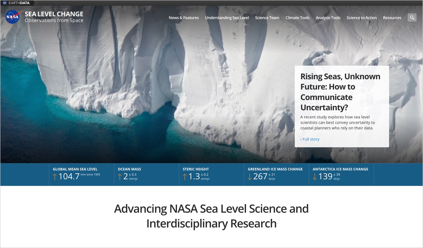
NASA Sea Level Change PortalNASA Sea Level Change Portal
NASA's Sea Level Web Portal at sealevel.nasa.gov offers comprehensive resources and data on sea level changes. It features interactive tools, scientific research, visualizations, and educational materials to help understand the causes and impacts of sea level rise, supporting both public awareness and scientific research.
Why you would use this site: You would use the Sea Level Web Portal at sealevel.nasa.gov to access a range of specialized tools and resources designed to enhance understanding of sea level changes. The portal features data visualization tools that allow users to explore sea level data through interactive maps and graphs, providing clear visual representations of trends and projections. It also hosts a comprehensive library of scientific research articles and reports, offering in-depth information on the factors contributing to sea level rise and its impacts. Additionally, the site hosts a tool that provides visualization and data access to the most recent global sea level projections from the IPCC AR6. Users can also access satellite data from NASA, providing precise measurements of sea level changes globally. These tools make the portal an valuable resource for anyone seeking to understand and respond to the challenges posed by rising sea levels, including on global scales.
Who should use this site: As the site provides a range of information, the audience is broad. The specific tools on the site support users interested in the latests understanding of sea level change on a global scale, including by providing access to the latest IPCC AR6 information.
Who/What this site is NOT appropriate to be used for: The site provides a broad range of information, so it doesn't not exclude any particular audience. The content and tools hosted on the site are intended for informational purposes, and do not directly support management decisions. Information provided is best used for screening-level assessments. The site is not appropriate for emergency response or immediate disaster management and has no operational capacity. The portal generally focuses on broader trends and long-term projections, and will not be useful to those interested in shorter term sea level changes (less than a month) or near-term monitoring of sea level.
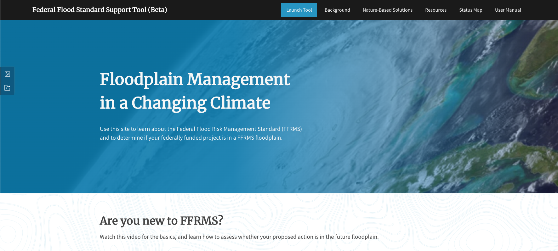
Federal Flood Standard Support ToolFederal Flood Standard Support Tool
Why you would use this tool: The Federal Flood Standard Support Tool helps identify if a federally funded project will be located within a Federal Flood Risk Management Standard (FFRMS) floodplain using the freeboard value approach (FVA), and climate-informed science approach (CISA). To identify FFRMS floodplains using CISA, the tool builds on effective Flood Insurance Rate Maps (FIRMs) using the best available and actionable data. This tool utilizes the Interagency 2022 Sea Level Rise Technical Report projections to integrate sea level data in the coastal areas on the Atlantic and Gulf Coasts within the CISA approach. The current version of the Federal Flood Standard Support Tool does not include map data to support the 0.2% Annual Chance (500-year) approach (0.2PFA).
Who should use this tool: Federal agencies and their non-federal partners and grantees pursuing federal funding for projects in floodplains.
Who/What this tool is not appropriate to be used for: The steps identified in this tool should not be relied on for the design or engineering of the action. The objective of the tool is to help the user determine whether the action is in the FFRMS floodplain and subject to the requirements of E.O. 11988 and E.O. 13690. If an action is in the FFRMS floodplain and locating it there is the only practicable alternative, then the services of a professional engineer, architect, or other licensed design professional may be required to determine how to minimize the impacts of flooding and make the action resilient (e.g., elevation, flood proofing, and/or nature-based solutions), especially when dealing with critical actions. This guidance encourages agencies to design actions in the floodplain consistent with the applicable policies and directives of the agency taking the action.


